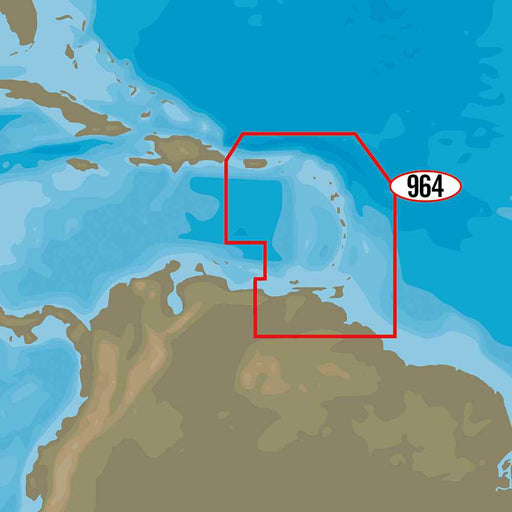
4D NA-D964 - Puerto Rico to Rio Orinoco Local
C-MAP4D NA-D964 - Puerto Rico to Rio Orinoco LocalFor Raymarine MFDs, Furuno, Standard Horizon and HumminbirdThe next evolution in navigation solutions....
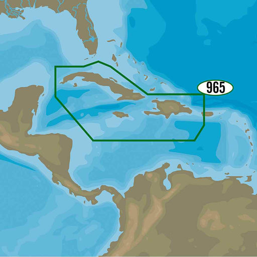
View full details4D NA-D965 - Cuba, Dominican Republic, Caymans & Jamaica
C-MAP4D NA-D965 - Cuba, Dominican Republic, Caymans & JamaicaFor Raymarine MFDs, Furuno, Standard Horizon and HumminbirdThe next evolution in naviga...
View full details4D NA-D966 - Belize to Panama Local
C-MAP4D NA-D966 - Belize to Panama LocalFor Raymarine MFDs, Furuno, Standard Horizon and HumminbirdThe next evolution in navigation solutions. C-MAP 4D ...
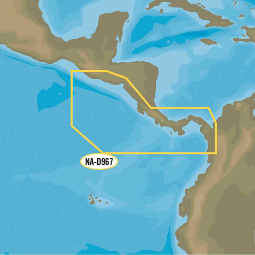
View full details4D NA-D967 - Panama to Guatemala Local
C-MAP4D NA-D967 - Panama to Guatemala LocalFor Raymarine MFDs, Furuno, Standard Horizon and HumminbirdThe next evolution in navigation solutions. C-MAP ...
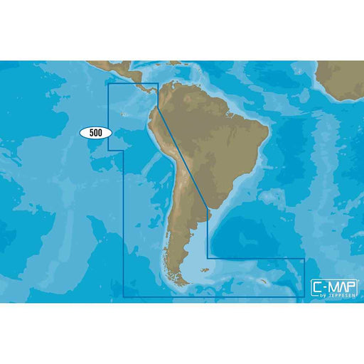
View full details4D SA-D500 Costa Rica to Chile to Falklands
C-MAP4D SA-D500 Costa Rica to Chile to FalklandsC-MAP charts have long been held in high regard by boaters because they combine aesthetically pleasing v...
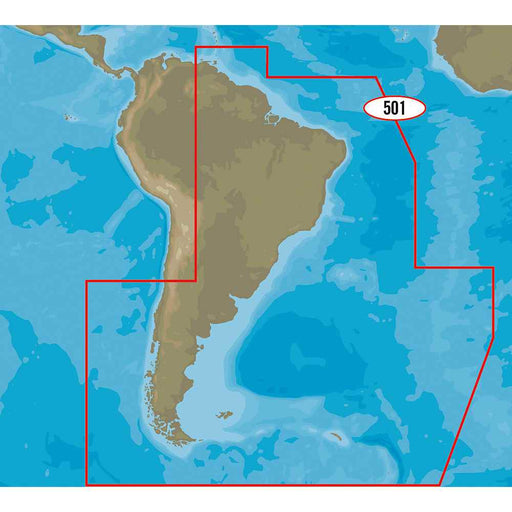
View full details4D SA-D501 Gulf of Paria to Cape Horn
C-MAP4D SA-D501 Gulf of Paria to Cape HornWith C-MAP’s detailed cartography and extensive database of local information at your fingertips you’ll never ...
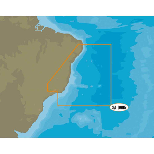
View full details4D SA-D905 Recife to Rio De Janiero
C-MAP4D SA-D905 Recife to Rio De JanieroFor Raymarine MFDs, Furuno, Standard Horizon and Humminbird The next evolution in navigation solutions. C-MAP 4D...
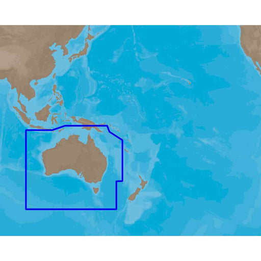
View full detailsC-Map MAX AU-M005 - Australia - SD Card
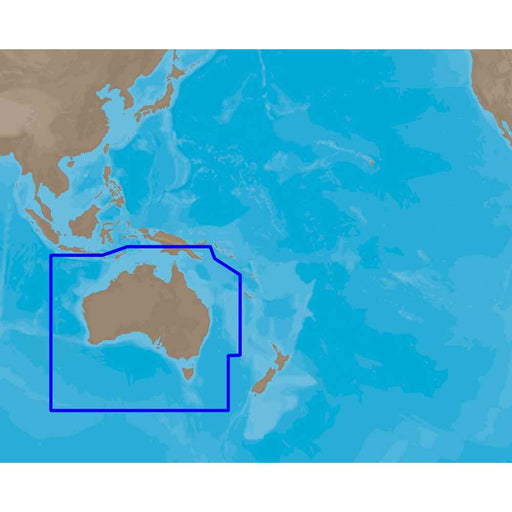
C-MAPCoverage of Australia covers all of Tasmania and the east coast including Lord Howe Island, Great Barrier Reef. The bottom half of PNG including th...
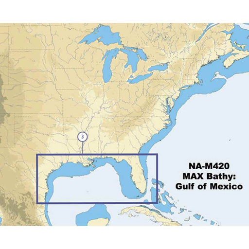
View full detailsC-Map NA-M420 Gulf of Mexico Bathy Chart - C-Card
C-MAPNA-M420 Gulf of Mexico Bathy Chart - C-CardGulf of Mexico coverage includes the offshore bathymetric details for the Gulf of Mexico from Key West, ...
View full detailsM-NA-Y200-MS DISCOVER North America
C-MAPM-NA-Y200-MS DISCOVER™ North America Whether cruising, fishing or sailing, C-MAP DISCOVER™ offers ultra-wide coverage and includes all of the core ...
View full detailsM-NA-Y201-MS Great Lakes To Nova Scotia REVEAL Coastal Chart
C-MAPM-NA-Y201-MS Great Lakes To Nova Scotia REVEAL™ Coastal ChartWhether cruising or fishing, C-MAP REVEAL™ Coastal charts offer the very best of C-MAP...
View full detailsM-NA-Y202-MS Nova Scotia to Chesapeake Bay REVEAL Coastal Chart
C-MAPM-NA-Y202-MS Nova Scotia to Chesapeake Bay REVEAL™ Coastal ChartWhether cruising or fishing, C-MAP REVEAL™ Coastal charts offer the very best of C-...
View full detailsM-NA-Y203-MS Chesapeake Bay to Bahamas REVEAL Coastal Chart
C-MAPM-NA-Y203-MS Chesapeake Bay to Bahamas REVEAL™ Coastal ChartWhether cruising or fishing, C-MAP REVEAL™ Coastal charts offer the very best of C-MAP....
View full detailsM-NA-Y204-MS Gulf of Mexico to Bahamas REVEAL Coastal Chart
C-MAPM-NA-Y204-MS Gulf of Mexico to Bahamas REVEAL™ Coastal ChartWhether cruising or fishing, C-MAP REVEAL™ Coastal charts offer the very best of C-MAP....
View full detailsM-NA-Y205-MS Central America & Caribbean REVEAL Coastal Chart
C-MAPM-NA-Y205-MS Central America & Caribbean REVEAL™ Coastal ChartWhether cruising or fishing, C-MAP REVEAL™ Coastal charts offer the very best of ...
View full detailsM-NA-Y206-MS West Coast & Baja California REVEAL Coastal Chart - Does NOT contain Hawaii
C-MAPM-NA-Y206-MS West Coast & Baja California REVEAL™ Coastal Chart - Does NOT contain HawaiiWhether cruising or fishing, C-MAP REVEAL™ Coastal cha...
View full detailsM-NA-Y207-MS Columbia & Puget Sound REVEAL Coastal Chart
C-MAPM-NA-Y207-MS Columbia & Puget Sound REVEAL™ Coastal ChartWhether cruising or fishing, C-MAP® REVEAL™ Coastal charts offer the very best of C-MA...
View full detailsM-NA-Y208-MS Alaska REVEAL Coastal Chart
C-MAPM-NA-Y208-MS Alaska REVEAL™ Coastal ChartWhether cruising or fishing, C-MAP REVEAL™ Coastal charts offer the very best of C-MAP. With Shaded Relief...
View full detailsM-NA-Y209-MS Canada North & East REVEAL Coastal Chart
C-MAPM-NA-Y209-MS Canada North & East REVEAL™ Coastal ChartWhether cruising or fishing, C-MAP REVEAL™ Coastal charts offer the very best of C-MAP. W...
View full detailsM-NA-Y210-MS Hawaii Marshall Islands French Polynesia REVEAL Coastal Chart
C-MAPM-NA-Y210-MS Hawaii Marshall Islands French Polynesia REVEAL™ Coastal ChartWhether cruising or fishing, C-MAP REVEAL™ Coastal charts offer the very...
View full detailsM-NA-Y211-MS US Lakes West REVEAL Inland Chart
C-MAPM-NA-Y211-MS US Lakes West REVEAL™ Inland ChartWhether cruising or fishing or C-MAP® REVEAL™ Lakes charts offer the very best of C-MAP. With Shaded...
View full detailsM-NA-Y212-MS US Lakes North Central REVEAL Inland Chart
C-MAPM-NA-Y212-MS US Lakes North Central REVEAL™ Inland ChartWhether cruising or fishing or C-MAP® REVEAL™ Lakes charts offer the very best of C-MAP. Wi...
View full detailsM-NA-Y213-MS US Lakes East REVEAL Inland Chart
C-MAPM-NA-Y213-MS US Lakes East REVEAL™ Inland ChartWhether cruising or fishing or C-MAP® REVEAL™ Lakes charts offer the very best of C-MAP. With Shaded...
View full detailsM-NA-Y214-MS US Lakes South East REVEAL Inland Chart
C-MAPM-NA-Y214-MS US Lakes South East REVEAL™ Inland ChartWhether cruising or fishing or C-MAP® REVEAL™ Lakes charts offer the very best of C-MAP. With ...
View full detailsM-NA-Y215-MS US Lakes South Central REVEAL Inland Chart
C-MAPM-NA-Y215-MS US Lakes South Central REVEAL™ Inland ChartWhether cruising or fishing or C-MAP® REVEAL™ Lakes charts offer the very best of C-MAP. Wi...
View full detailsM-NA-Y216-MS Canada Lakes REVEAL Inland Chart
C-MAPM-NA-Y216-MS Canada Lakes REVEAL™ Inland ChartWhether cruising or fishing or C-MAP® REVEAL™ Lakes charts offer the very best of C-MAP. With Shaded ...
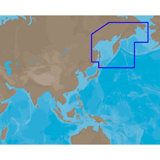
View full detailsMAX AN-M013 - Kamchata Peninsula-Kuril Island - C-Card
C-MAPCoverage of Kamchatka Peninsula and Kuril Islands in Russia. It covers Provideniya, Anadyr, Agattu Island, Dezhnev, magadan, Pertropavlovsk kamcha...
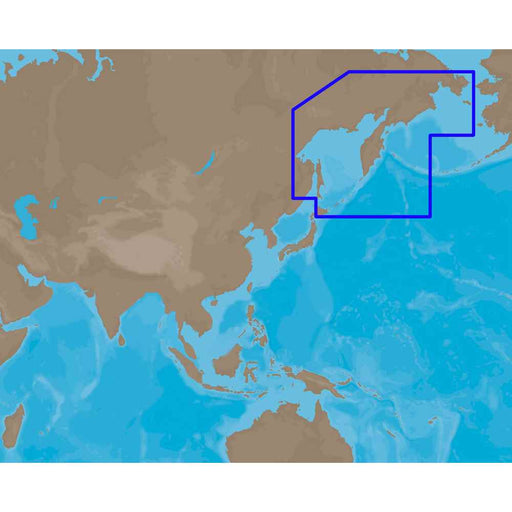
View full detailsMAX AN-M013 - Kamchatka Peninsula-Kuril Island - SD Card
C-MAPCoverage of Kamchatka Peninsula and Kuril Islands in Russia. It covers Provideniya, Anadyr, Agattu Island, Dezhnev, magadan, Pertropavlovsk kamcha...
View full detailsMAX AN-M204 - Japan-Hokkaido - C-Card
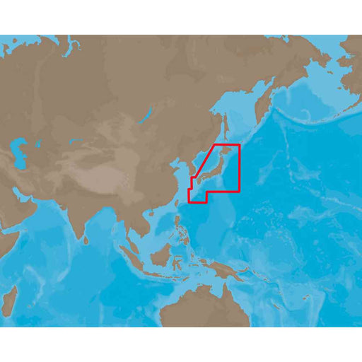
C-MAPCoverage of Japan and Hokkaido. It covers Minami-Chirippu Yama, Rakko Shima, Toyotomi, Kitami, Aitomari, Kushiro, Erimo, Misaki, Sapporo, Tomakomai...
View full detailsMAX AN-M204 - Japan-Hokkaido - SD Card
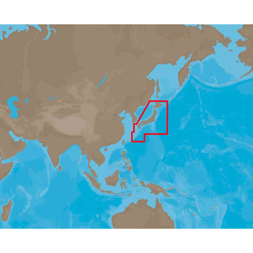
C-MAPCoverage of Japan and Hokkaido. It covers Minami-Chirippu Yama, Rakko Shima, Toyotomi, Kitami, Aitomari, Kushiro, Erimo, Misaki, Sapporo, Tomakomai...
View full detailsMAX AS-M001 - Gulf of Thailand-Yellow Sea - C-Card
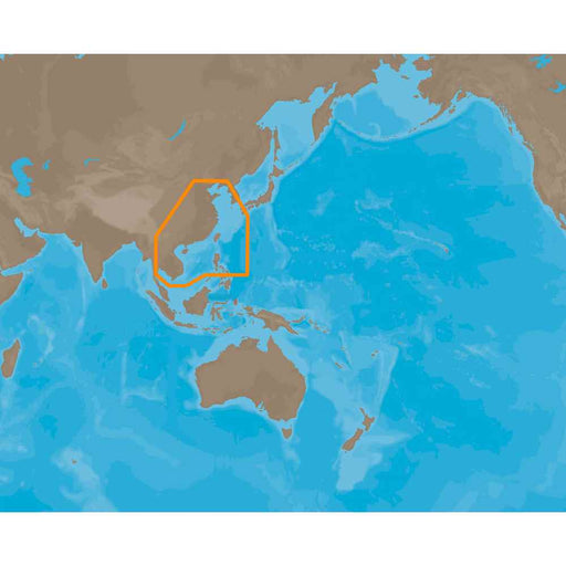
C-MAPCoverage of the Gulf of Thailand to the Yellow Sea between China and Korea. It covers Gulf of Thailand, coastal areas along Bangkok, Chumphon, Kamp...
View full detailsMAX AS-M001 - Gulf of Thailand-Yellow Sea - SD Card
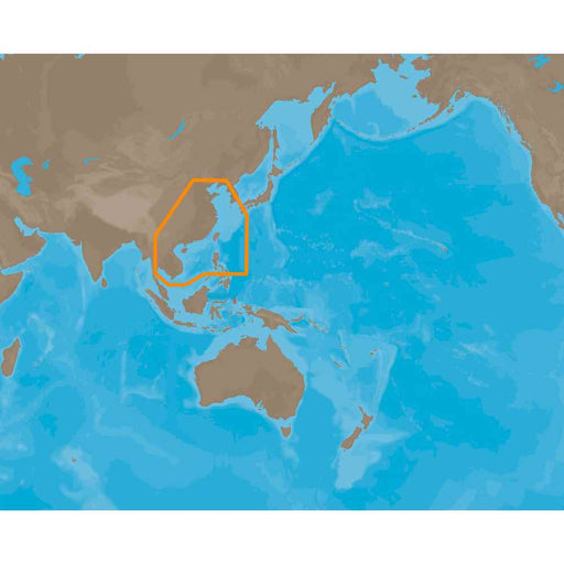
C-MAPCoverage of the Gulf of Thailand to the Yellow Sea between China and Korea. It covers Gulf of Thailand, coastal areas along Bangkok, Chumphon, Kamp...
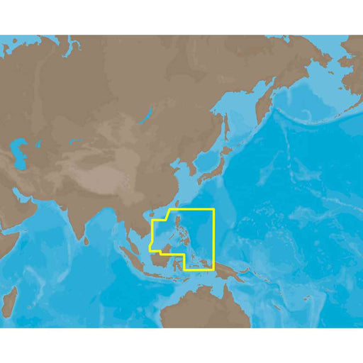
View full detailsMAX AS-M205 - Philippines - C-Card
C-MAPCoverage of Philippines Cover's Shanhu Island, Shi Island, Swallow Island, Pulau Gaya, Teluk Usukan, Kudat, Pulau Sakar, Bakapit, Kunak, Luuk Saul ...
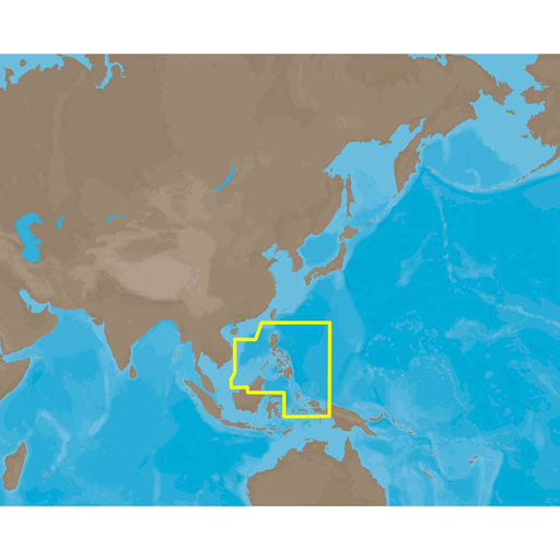
View full detailsMAX AS-M205 - Philippines - SD Card
C-MAPCoverage of Philippines Cover's Shanhu Island, Shi Island, Swallow Island, Pulau Gaya, Teluk Usukan, Kudat, Pulau Sakar, Bakapit, Kunak, Luuk Saul ...
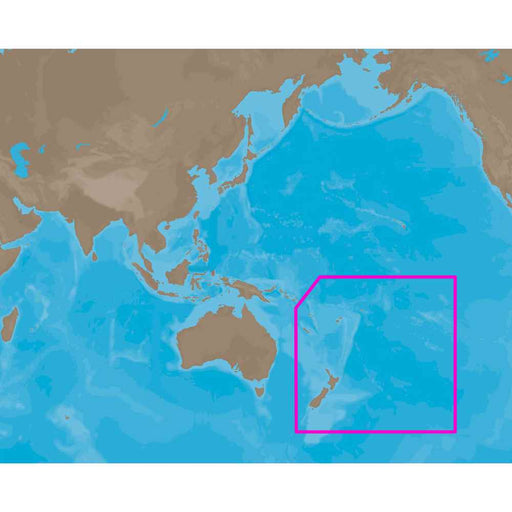
View full detailsMAX AU-M001 - New Zealand-Pacific Island - C-Card
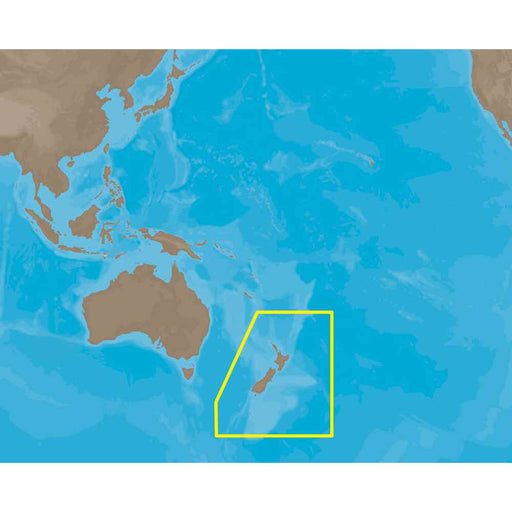
C-MAPCoverage of New Zealand and Pacific Island's cover's Campbell Island, Invercargill, Dunedin, Queenstown, Christchurch, Cooke Strait, Wellington, La...
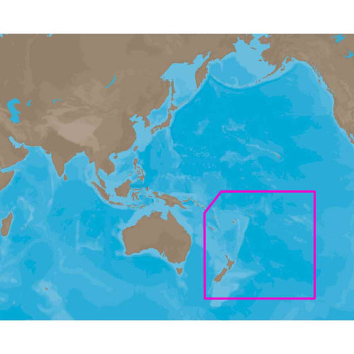
View full detailsMAX AU-M001 - New Zealand-Pacific Islands - SD Card
C-MAPCoverage of New Zealand and Pacific Island's cover's Campbell Island, Invercargill, Dunedin, Queenstown, Christchurch, Cooke Strait, Wellington, La...
View full detailsMAX AU-M005 - Australia - C-Card
C-MAPCoverage of Australia covers all of Tasmania and the east coast including Lord Howe Island, Great Barrier Reef. The bottom half of PNG including th...
View full detailsMAX AU-M222 - New Zealand-Chat Kermadec Island - SD Card
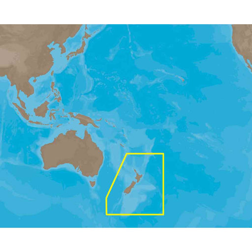
C-MAPMAX AU-M222 - New Zealand-Chat Kermadec Island - SD CardCoverage Area:New Zealand to Chat Kermadec IslandCard Format:SD CardThis product may not be...
View full detailsMAX AU-M222 - New Zealand-Chatham Island-Kermad - C-Card
C-MAPMAX AU-M222 - New Zealand-Chatham Island-Kermad - C-CardCoverage Area:New Zealand to Chatham Islands to Kermadec IslandsCard Format: SD Card This ...
View full detailsMAX EM-M112 - South Mediterranean Sea and Aegean Sea
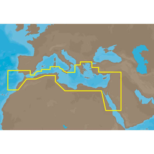
C-MAPSouth Mediterranean Sea and Aegean Sea: Greece to entrance of Sea of Marmara (partial coverage). SW Turkey, Syria, Lebanon, Israel, Egypt (includin...
View full detailsMAX EN-M019 - North & Baltic Seas - SD-Card
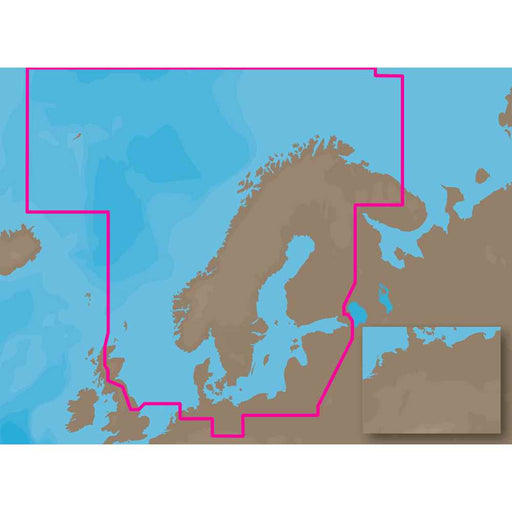
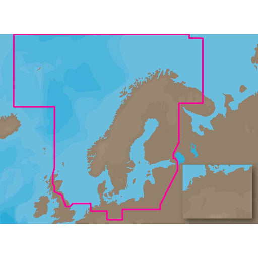
C-MAPNorth and Baltic Seas: Coverage of NE UK from Hull (including Orkney and Shetland Islands). From Groningen, Netherlands, Germany and Denmark. Balti...
View full detailsMAX EN-M019 - North-Baltic Seas - C-Card
C-MAPNorth and Baltic Seas: Coverage of NE UK from Hull (including Orkney and Shetland Islands). From Groningen, Netherlands, Germany and Denmark. Balti...
View full detailsMAX EN-M068 - Central European Lakes - C-Card
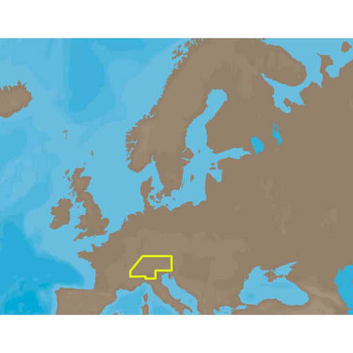
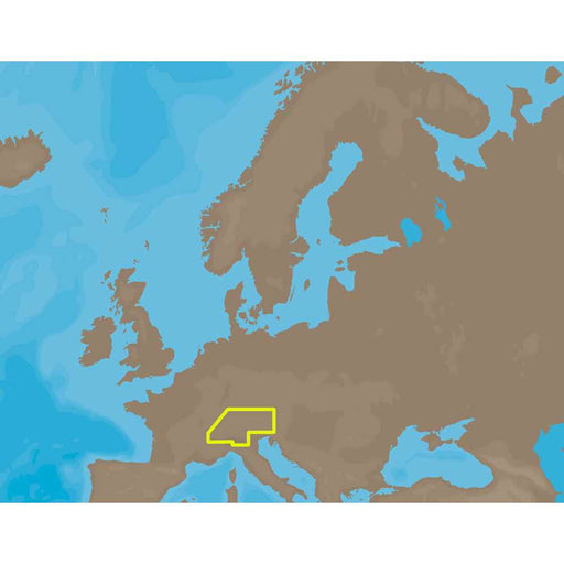
C-MAP- Central European Lakes: Inland coverage of Northern Italy, Western Austria, Southern Germany, Liechtenstein and SwitzerlandThis product may not b...
View full detailsMAX EN-M068 - Central European Lakes - SD Card
C-MAP- Central European Lakes: Inland coverage of Northern Italy, Western Austria, Southern Germany, Liechtenstein and SwitzerlandThis product may not b...
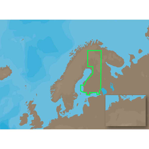
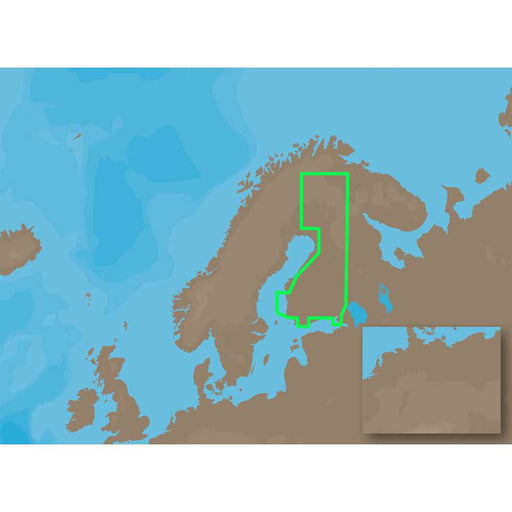
View full detailsMAX EN-M326 - Finland Lakes - C-Card
C-MAPMAX EN-M326 - Finland Lakes - C-Card Coverage Area: Findland LakesCard Format: C-CardThis product may not be returned to the original point of purc...
View full detailsMAX EN-M326 - Finland Lakes - SD Card
C-MAPMAX EN-M326 - Finland Lakes - SD CardCoverage Area: Finland Lakes Card Format: SD Card This product may not be returned to the original point of pu...
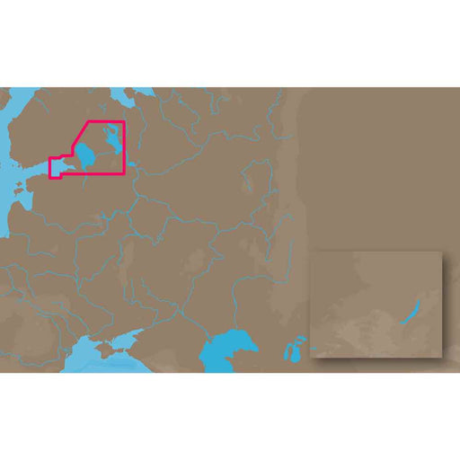
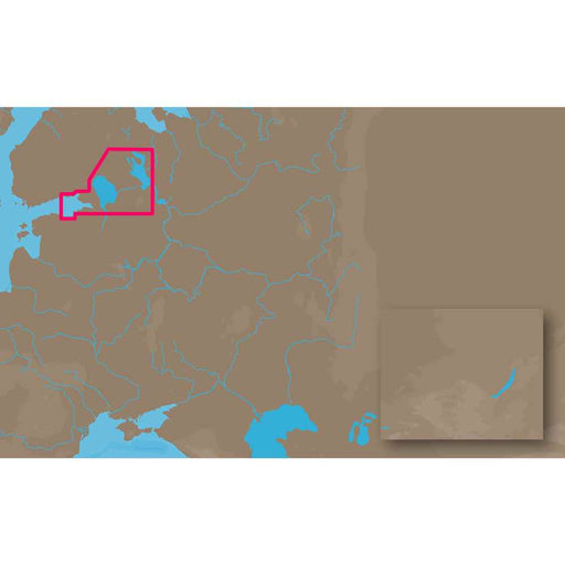
View full detailsMAX EN-M604 - Russian Lakes - C-Card
C-MAPRussian Lakes: Eastern Gulf of Finland includes Kotka, Gogland, Seskarand, Saint Petersberg, Neva River, Lake Ladoga, Svir River and Lake OnegaThis...
View full detailsMAX EN-M604 - Russian Lakes - SD Card
C-MAPRussian Lakes: Eastern Gulf of Finland includes Kotka, Gogland, Seskarand, Saint Petersberg, Neva River, Lake Ladoga, Svir River and Lake OnegaThis...
View full details
